|
|
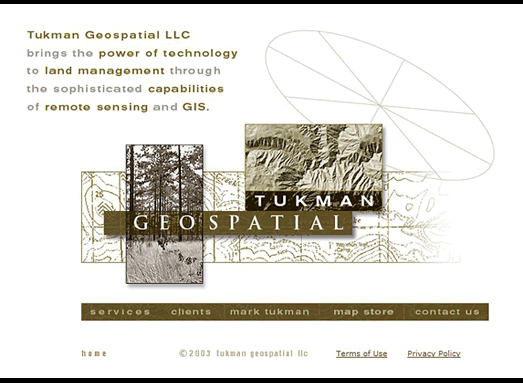
www.tukmangeospatial.com
: I am such a big fan of topo maps and charts, I’m usually the one
in charge of direction – whether we’re at sea, hiking or driving
down the road. So I was honored to work with this renown expert in the field
of GIS (Geographical Information Systems) and Remote Sensing – tools
used to map forestland, create Space Imaging, define vineyard feasibility,
and to study Global Warming. Mark sent me some of his imagery for inspiration.
I loved doing this for him. He is simply brilliant. (Producer, Architect,
Designer, UI/UX, Photo-Illustrator) |
|